



How stable is the physical ground beneath our civilization? While textbooks often portray our world as an unyielding sphere, Earth’s center of mass constantly swivels around its geometric center as massive volumes of water, snow, and air shift across the globe each season. A research team led by the Jet Propulsion Laboratory has now developed a satellite tracking technique that measures these subtle planetary oscillations with unprecedented precision. [1]
Why Earth’s Center of Mass Moves
Earth is not rigid. If our planet were a solid, uniform marble, its center of mass would overlap its geometric center without any variation. In reality, the terrestrial surface sloshes and sags under the weight of water, continental ice, and dense atmospheric layers. Driven by these seasonal redistributions, Earth’s center of mass swivels around the geometric core by several millimeters each year. Geoscientists monitor these oscillations closely because orbital satellites naturally orbit the planet’s collective mass rather than its surface crust. [1, 2]
Surface mass redistribution falls primarily into three categories: oceans, atmosphere, and continental water (which includes land ice, seasonal snow, river basins, soil moisture, and deep groundwater). When winter storms blanket continents with heavy snow, that localized weight exerts a measurable gravitational pull. Satellites orbiting overhead respond immediately to that extra gravitational tug, adjusting their trajectories as if drawn by invisible tethers. Scientists at NASA and the Jet Propulsion Laboratory rely on these satellite responses to pinpoint how mass migrates between hemispheres. [1]
Understanding this motion has profound practical consequences for satellite navigation and spatial geodesy. Modern navigation networks, civil engineering projects, and global shipping logistics require positioning accuracy down to fractions of an inch. As Felix Landerer, a study coauthor at the Jet Propulsion Laboratory in Southern California, pointed out, understanding how reference systems change allows engineers to construct reliable coordinates for global mapping, precision agriculture, and commercial transport. Without compensating for shifts in planetary mass, elevation measurements slowly drift over time. [1]
Discrepancies in Historical Satellite Tracking
The goalpost keeps moving. Defining a fixed center of mass for Earth has challenged geodesists for decades. [1]
Using spacecraft to locate Earth’s center of mass is not a new idea. In fact, dense spherical satellites launched in 1976 and 1992 were dedicated specifically to this tracking mission. Resembling 900-pound (408-kilogram) disco balls, both Laser Geodynamics Satellites (known as LAGEOS 1 and LAGEOS 2) were studded with retroreflective prisms and tracked with laser precision from ground stations distributed across more than 20 countries. However, satellite laser ranging suffers from an uneven geographic distribution of ground stations, leaving large oceanic regions poorly monitored. [1]
How large was the resulting uncertainty in existing geodetic calculations? The last two international estimates, published in 2017 and 2023, differed by 0.27 inches (7 millimeters), a gap roughly equal to the height of three stacked nickels. That discrepancy is almost as large as the seasonal motion itself. To resolve this persistent ambiguity, geoscientist Donald Argus from the Jet Propulsion Laboratory led an international research team that included specialists from the University of Nevada, the University of Montana, and the Helmholtz Centre for Geosciences in Germany. Their collaborative investigation, detailed in a new study published in Geophysical Journal International, established that annual mass swings between hemispheres are roughly half the magnitude scientists believed eight years ago. [1, 2]
Combining Crustal Deformation with Orbital Trajectories
The new calculation technique developed by Donald Argus and his colleagues improves geodetic precision through two major innovations. First, the researchers incorporated continuous GPS tracking data in combination with orbital information from multiple spacecraft operating in low Earth orbit, creating a far more diverse array of observational targets. Second, the framework accounts for how shifting surface loads deform the crust beneath ground stations. Earth’s crust elastically sags under accumulating water and ice, causing tracking stations to ride along on that deformation. [1, 2]
Gravity drives the motion. Subtle orbital variations directly reflect shifting terrestrial weight because satellites remain bound to the planet by gravity. When massive hydrological loads accumulate over continents, ground stations sink by fractions of an inch while orbiting instruments register altered gravitational forces. By measuring these simultaneous ground and space displacements, Argus and the orbit determination team separated station deformation from genuine orbital movements, enabling unprecedented measurement accuracy. [1, 2]
This dual approach resolved long-standing contradictions between terrestrial measurements and space observations. As Argus explained, earlier models overestimated how much mass moved back and forth each year because they failed to properly account for ground station movement. The team’s revised calculations show that the actual mass of water and atmosphere migrating between the northern and southern hemispheres is substantially smaller than previous models assumed. Precision tracking clarifies planetary mechanics. [1, 2]


Seasonal Swings from Continents to Oceans
Water continually redistributes global mass. By cataloging regional movements throughout the calendar year, the study authors mapped how distinct hydrological reservoirs drive cyclical shifts in Earth’s center of mass. Snow accumulation across North America and Eurasia reaches its maximum volume in March, shifting the planet’s mass center approximately 3 millimeters toward the North Pole. When northern winter yields to spring thaw, that frozen reservoir melts, releasing torrents of water that flow back toward oceanic basins and equatorial latitudes. [1, 2]
April brings another shift. Just one month after northern snowpack peaks, intense rainfall in South America concentrates in the Amazon River basin, where seasonal water accumulation reaches 2,400 gigatons. This colossal hydrological surge swings Earth’s center of mass 2.2 millimeters toward South America. Half a year later, in November, monsoon storms over southeast Asia peak with 600 gigatons of water, delivering an additional tug that alters the annual trajectory before continental moisture evaporates or drains into the seas. [1, 2]
Between August and October, oceanic dynamics dominate the planetary balance. Meltwater runoff and seasonal rains cause global oceans to swell, shifting Earth’s center of mass toward the South Pacific Ocean. The sheer expanse of the Pacific Ocean overshadows changes in other marine bodies, yet localized dynamics in the Mediterranean Sea, Red Sea, North Sea, Baltic Sea, and Barents Sea all contribute measurable forces. Each basin adds its own signature to the planet’s seasonal wobble as water circulates between shallow seas and open abyssal plains, demonstrating that even localized enclosed basins affect global planetary orientation. [1, 2]
Atmospheric Pressure and Hemispheric Tipping Points
Atmospheric circulation exerts its own powerful gravitational influence. To isolate how weather patterns shift planetary weight, the research team analyzed atmospheric models developed by the European Centre for Medium-Range Weather Forecasts. Cold, dense winter air compresses over continental interiors, increasing local atmospheric pressure and tipping the planetary scales. Around Dec. 21 each year, heavy winter air masses peak over Arabia, Asia, and northern Africa, creating a seasonal atmospheric high that pulls on the mass center. [1, 2]
Six months later, the atmospheric balance inverts. Around June 21, dense winter air masses form over South America and South Africa, pulling planetary weight in the opposite direction. Atmospheric pressure variations shift billions of tons of air between hemispheres, adding a distinct rhythm that operates in tandem with continental water cycles. By integrating weather models with satellite geodesy, the researchers demonstrated that atmospheric oscillations account for a critical fraction of the annual center of mass trajectory. [1, 2]
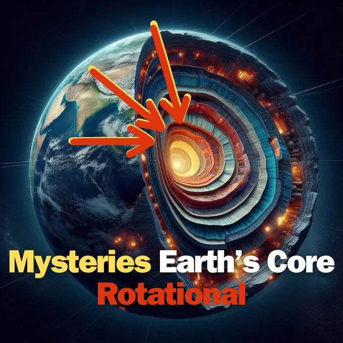
These seasonal shifts illuminate the active mechanics of planet Earth and its planetary systems, where fluid envelopes interact continuously with the underlying rock. While research on the inner core of Earth and its rotational behavior examines processes occurring thousands of kilometers underground, these seasonal oscillations stem entirely from surface fluids moving across the crust. Separating surface hydrological oscillations from deep geophysical signals enables scientists to refine interior models without confounding external mass movements. [1, 2]
Future Reference Frames and Climate Observation
Orbiting twins map the change. The mass calculations published in the new study show remarkable consistency with direct measurements collected by the Gravity Recovery and Climate Experiment Follow-On (GRACE-FO) mission. Launched in 2018 as a joint partnership between NASA and the German Research Centre for Geosciences (GFZ), the twin satellites track monthly fluctuations in Earth’s gravitational field. Flying in precise formation, the lead spacecraft accelerates slightly when passing over dense bodies like swollen river basins, altering the distance to its trailing twin. [1, 2]
Long-term observations provide an essential baseline for tracking global climate change. Because polar ice sheets melt and regional precipitation patterns shift over decades, distinguishing human-driven hydrological trends from natural seasonal swings requires continuous precision monitoring. Refining the planetary center of mass provides a stable reference frame for measuring sea level rise. Without an accurate geodetic coordinate foundation, altimetry satellites cannot reliably determine whether ocean surfaces are rising or coastal monitoring stations are subsiding into deforming bedrock. [1, 2]
NASA and its international partners are preparing the next-generation GRACE-Continuity (GRACE-C) mission, targeting launch in late 2028 to extend the nearly 25-year series record. Modern navigation demands extreme accuracy. By continuing these satellite measurements, geoscientists ensure that global positioning systems, civil engineering networks, and climate models maintain an unshakeable geodetic foundation as Earth’s surface mass continues its annual migration. [1, 2]
- ONLINE NEWS Younger, S. (2026, September 16). NASA watches Earth’s weight, finds center of mass. NASA. [Article Link]
- ACADEMIC JOURNAL Argus, D., Landerer, F., et al. (2026). Seasonal swings in Earth’s center of mass calculated with ultraprecise satellite tracking. Geophysical Journal International [As cited in Younger, 2026]. [Article Link]
- WEBSITE NASA. (2026, September 16). Earth illustration showing seasonal water and mass distribution [Illustration]. NASA. [Article Link]
APA 7: TWs Editor. (2026, September 17). How Earth’s center of mass swivels under shifting waters. PerEXP Teamworks. https://perexpteamworks.com/en/earths-center-of-mass-shifts/


