



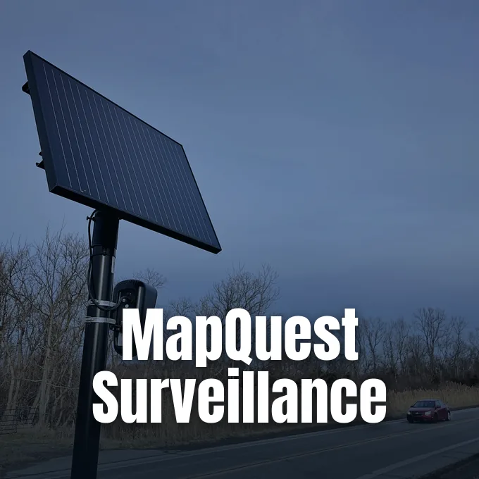
MapQuest added a tool to its navigation app that shows where outdoor cameras watch roads, helping drivers spot license plate readers across local towns [2]. The update brings the MapQuest surveillance layer right next to regular road feeds, showing gear made by Flock Safety with devices from multiple other makers [1], [2]. This release follows a big rise in app downloads after recent map policy fights, giving drivers and civic groups a clear look at local tracking setups [1], [3].
Finding the MapQuest Surveillance Layer
Drivers can switch on camera pins in the MapQuest surveillance layer by opening the Map Options menu inside MapQuest. The toggle sits right beside regular layers for traffic flow and road incidents, so drivers don’t have to hunt through deep setting menus to spot it [2], [3]. Once turned on, the MapQuest interface marks road locations where automated lenses log passing cars, placing camera icons onto city avenues and quiet suburban corners alike [2].
Putting this tool next to daily driving aids makes camera tracking an ordinary part of route planning rather than a hidden technical menu [2],. Commuters planning a morning drive to work or a quick trip downtown can check their route before leaving home to see which roads log car plates [3]. The feature works on both mobile apps and desktop web browsers without asking for paid tiers or personal accounts [1]. It doesn’t reroute cars automatically. Instead, it gives people visual proof of where optical sensors sit along the curb so drivers who want to steer clear of heavy camera zones can pick alternate streets by hand. Full evasion isn’t simple in crowded metro areas [3].
Drivers often find camera pods clustered near highway exits and busy retail strips, and MapQuest displays these coordinates clearly across clean background road charts on both mobile phones and desktop web browsers [1], [3]. That gives commuters quick local knowledge [1], [3].
Supported Hardware Makers
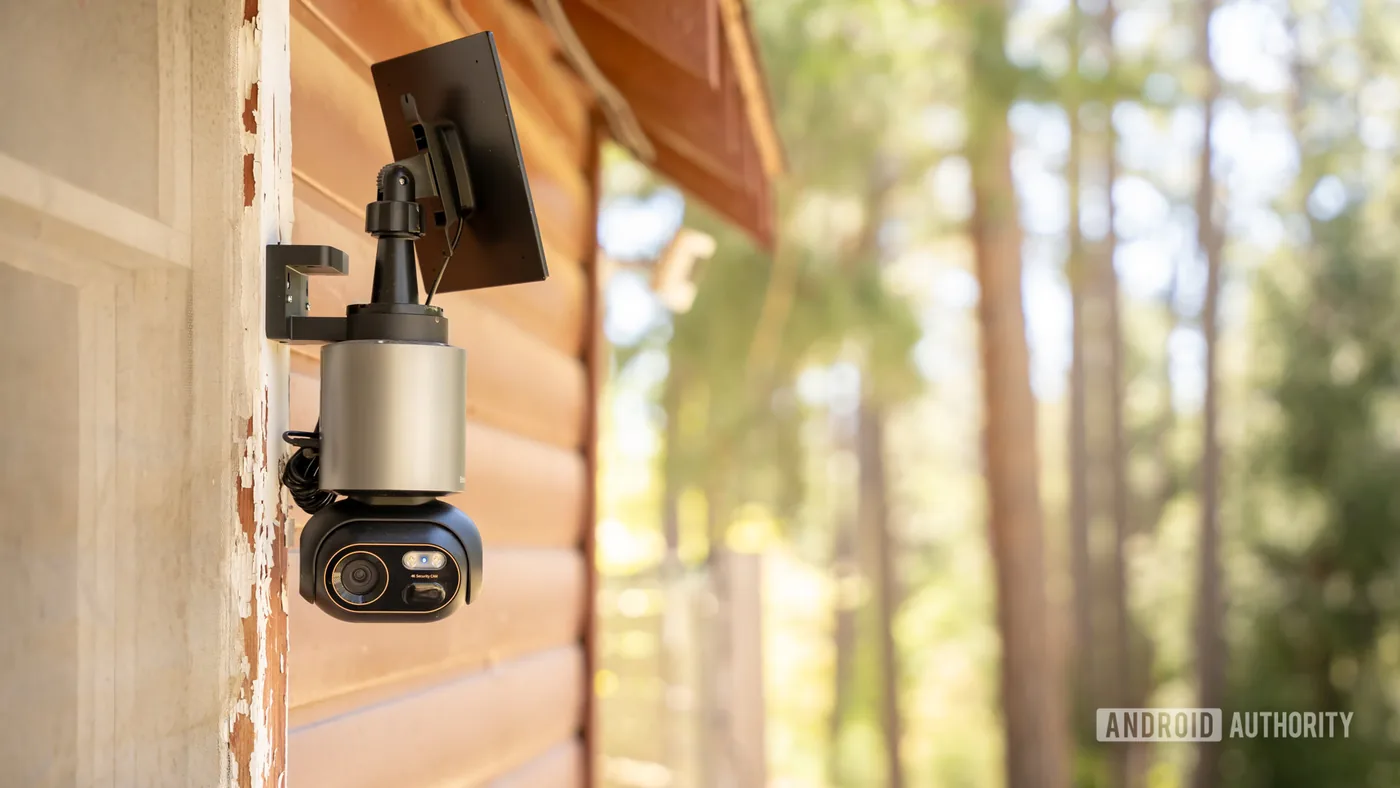
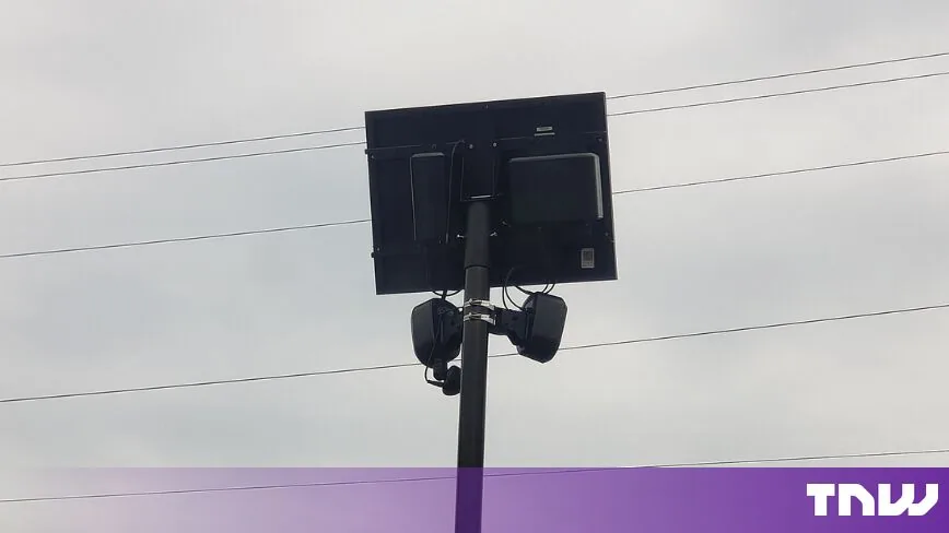
A major focus of the new tool centers on gear from Flock Safety, one of the biggest suppliers of license plate readers across the United States. Flock builds compact camera units on roadside poles to scan car traffic day and night. Flock Safety makes license plate readers. Its systems take photos of passing cars, read tag numbers, and log exact times and map spots into searchable files for police and private groups [2].
MapQuest didn’t stop with one camera brand [1]. The app also flags plate readers sold by Motorola Solutions, including its Vigilant product line [2], [3]. MapQuest users can spot devices built by Genetec, Axis Communications, and Axon on the same screen. The map even flags hardware from Leonardo (ELSAG), Neology, Rekor, PlateSmart, Ubicquia, and Verkada [2], [3]. All these firms build optical tools that log car trips on public streets, and mapping them in one place gives drivers a full view of neighborhood tracking webs [1], [2].
These camera makers sell to diverse clients, from private homeowners associations to municipal police agencies. While some units only read plates, other devices record broader video clips of nearby sidewalks and crosswalks [2]. Showing multiple brands on a single MapQuest map prevents blind spots for drivers who think only one vendor operates nearby [1], [3]. Roadside tracking isn’t run by a single firm [2].


Community Reports and Camera Pins
Because camera grids grow quickly, MapQuest relies on crowdsourced tips to keep data fresh. People who spot new cameras on street poles can send map points right through the app to add missing gear, catching new installations long before city contracts show up in public files. The system pools user reports so neighbors can verify if a camera belongs to Flock Safety, Motorola Solutions, or another brand [2], [3].
MapQuest took an upbeat path to show off the feature on social media [2], [3]. The company announced the update with the line “The Roads Have Eyes!”, CarScoops reported [2]. MapQuest also rolled out a short promo clip set to Rockwell’s “Somebody’s Watching Me” to play on the theme of road eyes, which Engadget writer Kris Holt praised as “Chef’s kiss, no notes” [3].
The playful push started serious talk among drivers about road privacy [1],. Many drivers don’t know how many cameras log their cars during simple trips to grocery shops or schools. Seeing camera pins on MapQuest turns a vague privacy issue into clear local facts. For civic groups seeking to curb cameras in their home towns, having a count of active lenses gives them hard proof for city hall hearings [3].
Legal Scrutiny over Mass Surveillance
The arrival of the tool comes amid growing legal fights over private license plate readers. Privacy advocates say automated cameras create a wide tracking web that logs law-abiding drivers without any sign of crime. Police agencies search the logged data. Because cameras photograph each passing car, saved logs can show private trips to health clinics, churches, and family homes [2].
Courts in the United States have started checking the legal limits of roadside camera systems. A federal judge recently ruled that a police search using the Flock Safety camera network was unconstitutional mass surveillance, setting a key legal boundary against unchecked digital dragnet policing. The court made clear that warrantless searches across private camera networks break privacy rights when police track drivers across whole towns without a warrant. Lawmakers in Washington have also introduced The Ban Flock Act to stop federal funding for automated plate cameras on public streets. Public worry grew even more when an analysis of stored tracking data recovered from downed hardware showed how long private firms keep car logs without court rules [2].

MapQuest can’t stop police cars from scanning traffic, but it gives everyday people a way to see the reach of street cameras. Kris Holt wrote in Engadget that drivers might not be able to easily bypass every camera on their daily drives, but seeing where lenses sit helps people who want to remove them from neighborhoods build local support [3]. Open maps let towns see what watches their roads [2], [3].
The MapQuest Surveillance Layer in App Growth
The rollout of the MapQuest surveillance layer marks a new chapter in the brand’s quiet revival [1], [3]. Twenty years ago, MapQuest was the top way drivers printed directions before Google Maps arrived, but the pioneering navigation portal soon faded into the background as smartphones turned real-time GPS into an everyday standard. Now it is back. In late 2026, MapQuest found fresh momentum by taking clear public stances that resonated with frustrated map users [1], [2].
MapQuest app downloads jumped in September 2026 after the service pushed back against a name edit made by rival tech giants [2], [3]. When Apple Maps and Google Maps agreed to rename Lake Ontario as Lake America, MapQuest refused to follow suit [2], [3]. Apple Maps made the change in September [2]. That choice won praise from millions of users who downloaded MapQuest to protest the forced label change [1], [2]. The sudden boom in users gave MapQuest new momentum to release handy tools that Google Maps and Apple Maps skip [1], [3].
MapQuest built on that growth by shipping long-overdue updates to the app [2], [3]. It added Android Auto support so drivers could cast routes directly onto car dashboards [2], [3]. It also rolled out public transit directions to help commuters take buses and trains [2], [3]. The MapQuest surveillance layer fits right into this path by giving drivers useful facts about road conditions, while its focus on practical tools and road privacy keeps the classic brand relevant for modern travelers [1], [3].
- ONLINE NEWS Android Authority. (n.d.). MapQuest’s new tool can help you avoid Flock cameras. Android Authority. [Article Link]
- ONLINE NEWS Constantin, A. M. (2026, October 16). MapQuest now shows Flock and other surveillance cameras on its map. The Next Web. [Article Link]
- ONLINE NEWS Holt, K. (2026, October 16). MapQuest will now show you where Flock cameras are in your neighborhood. Engadget. [Article Link]


