



Can advanced visual simulations transform unvisited environments into emotionally meaningful territories? Digital placemaking addresses this challenge by integrating spatial computing, human-centered design, and empirical planetary observations to turn abstract numerical coordinates into recognizable human settings [2]. While traditional urban planning focuses on occupied streetscapes, contemporary researchers now expand digital place-making toward extreme terrestrial margins and planetary environments. On November 12, 2026, NASA researchers and contemporary urban planners convene at the IEEE VIS conference in Boston to establish formal collaborative frameworks for mapping unpeopled worlds [1].
What Is Digital Placemaking?
Digital placemaking represents an evolving design philosophy that combines digital interfaces, sensory media, and participatory practices to imbue physical and virtual environments with shared cultural significance [2]. The overarching placemaking movement stems from mid-twentieth-century urban theory developed by thinkers such as William Whyte and Jane Jacobs, who insisted that public spaces derive enduring civic value from informal social encounters rather than monumental architectural structures [3]. In an editorial for Urban Design International, Patricia Aelbrecht and Mahyar Arefi emphasize that modern placemaking practice bridges historic disciplinary divides between aesthetic physical form and collective human behavior [2].
Urban design historically prioritized rigid physical master plans, but contemporary theorists argue that meaningful space requires active social construction [3]. Scholars K. Chen, M. Guaralda, J. Kerr, and S. Turkay observe that incorporating interactive digital layers (such as digital twins and participatory web platforms) necessitates a transition from purely physical interventions to a hybrid design mode. This hybrid model operates across interior rooms, individual street corners, and extensive metropolitan networks. Physical coordinates require legibility. Just as the history of collage from ancient scrolls to modern art demonstrates how fragmented physical media generate new contextual meaning, layered data interfaces assemble disparate satellite observations and architectural projections into cohesive, emotionally legible public environments [2].

How Data Transforms Space into Place
Geographer Yi-Fu Tuan established in 1977 that space transforms into place when human experience assigns it specific emotional value and enduring familiarity [3]. Scientific visualization extends this mechanism by rendering mathematical models into perceptual landscapes that human cognition can interpret and inhabit. Raw sensors lack context. Visualizers construct orientation, relative scale, and environmental textures directly from instrument readings to cultivate computational trust among analysts and observers [1].
Modern visualization specialists collaborate across narrative communication, climate intelligence, and immersive simulation venues to translate numerical complexity into actionable public understanding. For instance, climate models tracking sea level rise depict coastlines that do not yet exist, presenting environments altered over future decades. Planners must make binding regional infrastructure commitments based on these predictive environmental renderings, relying on visual clarity to convey computational model uncertainty without alienating non-specialist civic communities [1]. In biological systems, material assembly similarly reflects learned environmental responses; field studies in animal behavior reveal that bird nests reflect individual style and past experiences when creatures actively manipulate organic matter to construct functional, protective physical habitats across varying territorial climates. When visual models accurately communicate underlying constraints, synthetic representations function as legitimate proxies for unvisited physical ground.
NASA Models Inaccessible Alien Worlds
NASA Science organizer Ella Kaplan notes that planetary visualization faces an unprecedented conceptual challenge when charting terrains that humans cannot physically touch. Planetary missions gather petabytes of topological measurements from orbiters, radar instruments, and surface rovers on the Moon and Mars. Mission teams convert these quantitative arrays into high-resolution terrain models, allowing flight engineers and astronauts to rehearse lunar surface traverses. The Westin Copley Place in Boston will host the panel in Hall America South on Thursday, November 12th from 1:00pm to 2:30pm US Eastern Time [1].
Data builds places. Astronauts train inside virtual craters before landing on extraterrestrial soil [1].

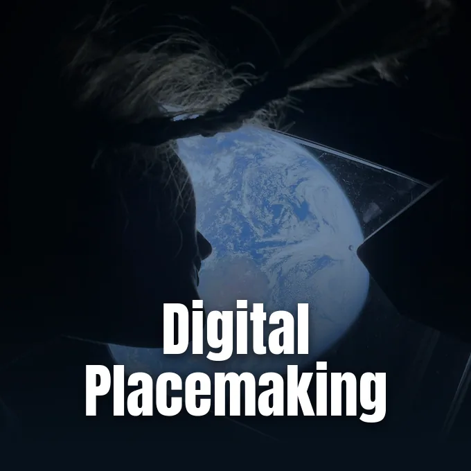
During deep-space voyages such as Artemis II, astronauts observe Earth from distance while relying on calibrated digital displays to maintain situational orientation. Mission specialist Christina Koch peers through the Orion cabin windows as orbital telemetry continuously synchronizes external visual reality with synthetic spacecraft interfaces. NASA researchers argue that constructing emotional resonance and operational trust directly from orbital datasets represents a necessary act of placemaking for extraterrestrial exploration. Panelists ask directly: ‘(how) can visualization transform a space into a place when lived experience is absent?’ [1]. Interactive simulations across extended reality platforms establish shared mental geographies for planetary crews long before physical boots encounter alien regolith.


Can Digital Place-Making Bridge Urban Divides?
Empirical research demonstrates that digital place-making interventions can actively mediate spatial conflicts when structured around shared social participation and transparent civic engagement. At the Ledra Street Crossing Point within the divided capital of Nicosia, researchers Ediz Orac and Ugur Ulas Dagli evaluated how non-governmental organizations revitalize contested buffer zones. Their field analysis reveals that sociability, shared space utilization, and multifunctional programming serve as crucial imperatives for restoring community dialogue across divided sectors. Hostile borders divide communities. Digital mapping tools and participatory surveys allow divided populations to visualize common communal assets, converting disputed crossing points into collaborative assembly grounds [2].
Community-level interventions yield comparable institutional insights across vulnerable informal settlements. In the BaSECo compound of Manila, Francesco Rossini documented how collaborative university action research bridges informal community routines and official urban design policies. Rossini demonstrated that temporary architectural interventions translate grassroots spatial tactics into durable municipal strategies, training designers to navigate complex institutional frameworks. Meanwhile, Duygu Gokce and Conrad Kickert evaluated Elmwood Village (Buffalo, New York) to determine what occurs when a sense of place is already robust. Examining building, street, and district scales, Gokce and Kickert quantified four distinct sub-indicators: place attachment, place identity, place dependence, and nature bonding [2]. Their empirical data confirms that clear architectural boundaries reinforce neighborhood solidarity.
Core Principles of Digital Urban Placemaking
The operational methods of digital urban placemaking trace back to participatory principles codified during the late twentieth century. In 1975, Fred Kent founded the Project for Public Spaces in New York, translating William H. Whyte’s observational studies of pedestrian behavior into structured design guidelines. Placemaking consultancies like STIPO in the Netherlands and Gehl Associates in Denmark subsequently demonstrated that human-scale public spaces must prioritize walking and spontaneous assembly above vehicular throughput. Modern community initiatives deploy digital charrettes, participatory geographic information systems, and mobile polling to convert residents from passive municipal clients into active co-creators of civic space [3].
Contemporary practitioners distinguish between broad community revitalization and specialized branches of spatial intervention. Creative placemaking, defined by researchers Ann Markusen and Anne Gadwa for the National Endowment for the Arts, strategically shapes local character around cultural activities and public art installations. In contrast, tactical placemaking relies on short-term, affordable, and scalable modifications (short-term, community-led spatial installations) such as temporary plazas, street murals, and pop-up seating. Quality environments maintain adaptable functions, coherent pedestrian networks, and valued architectural heritage across shifting economic conditions. Tactical pilots minimize risk. By integrating digital tracking with physical installations, municipal planners measure foot traffic and social vitality before committing substantial capital expenditures [3].
Addressing Ethical Limits in Virtual Spaces
Despite widespread adoption across municipal agencies, spatial interventions face sharp scholarly scrutiny regarding equity and commercial commodification. Urban planning theorist Noga Keidar observes in Planning Theory & Practice that placemaking often serves as an ambiguous umbrella concept, risking direct alignment with aggressive private real estate branding, escalating property valuations, and involuntary long-term resident displacement across vulnerable neighborhoods. Furthermore, assumptions rooted in liberal democratic governance models do not always transfer seamlessly to alternative sociopolitical structures across developing regions [3]. Aesthetic branding distorts equity. When virtual environments and digital twins model neighborhood upgrades, developers can easily prioritize commercial branding over genuine resident needs [2].
In planetary science and climate intelligence, visualizers confront analogous epistemological hurdles when depicting unvisited domains. Panelists at IEEE VIS emphasize that researchers must delineate clear visual boundaries between empirically verified datasets and speculative modeling extrapolations. If uncertainty is concealed beneath polished rendering aesthetics, public observers and mission directors risk forming unjustified confidence in unverified spatial assumptions. Conversely, excessive statistical ambiguity can paralyze decision-making processes regarding planetary exploration trajectories or coastal flood defenses [1]. Researchers at PerEXP Teamworks track how these emerging scientific visualization standards will determine whether synthetic environments foster genuine collective agency or merely produce persuasive commercial illusions.
- WEBSITE Kaplan, E. (2026). Visualization as a Foundational Act of Placemaking: Future Places and Alien Worlds. NASA Science. [Article Link]
- ACADEMIC JOURNAL Aelbrecht, P., & Arefi, M. (2024). What is new in Placemaking research and practice?. Urban Design International, 29(1), 1–3. [Article Link]
- WEBSITE Wikipedia contributors. (2026). Placemaking. Wikipedia, The Free Encyclopedia. [Article Link]
APA 7: PerEXP Teamworks. (2026, September 24). NASA and Urban Theorists Redefine Digital Placemaking. PerEXP Teamworks.


