



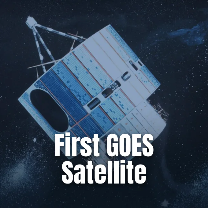
On October 16, 1975, NASA launched the first GOES weather satellite from Cape Canaveral, Florida, to monitor dynamic atmospheric conditions above Earth. The mission, managed jointly by NASA and the National Oceanic and Atmospheric Administration (NOAA), placed an observation platform into geostationary orbit to help meteorologists watch developing storms in near-real time. As reporters Hanneke Weitering and Tariq Malik reported for Space.com, the flight started fifty years of orbital cooperation between NASA and NOAA. The inaugural GOES-1 observatory proved that high-altitude vantage points could deliver dependable cloud imagery for daily forecasts [1].
Liftoff from Cape Canaveral
A Delta rocket carried the payload into clear Florida skies on that Thursday morning. Liquid-fueled engines accelerated the Delta vehicle through the lower atmosphere, arcing east over the Atlantic Ocean as NASA tracking teams monitored vehicle acceleration through separation. NASA flight controllers confirmed orbital insertion [1].
The Delta rocket departed from Cape Canaveral Space Force Station, sending the payload on an elliptical transfer path toward circular orbit above Earth. NASA developed the flight during the nineteen-seventies, an era of aerospace research when NASA also designed winged orbiters and where the Space Shuttle Enterprise debuted as NASA’s first winged orbiter to test atmospheric glide approaches. Before this mission lifted off, two predecessor NASA satellite series had evaluated experimental weather cameras, but meteorologists still required steady views from a fixed position high above the equator rather than intermittent glimpses from polar orbits. Senior production editor Elisa Neckar reported for Astronomy Magazine that those early test series built the technological foundation for the Geostationary Operational Environmental Satellites GOES fleet. NASA engineers applied earlier flight data to refine thrusters and radio systems [2].
Orbit Above the Indian Ocean
During construction, NASA and NOAA engineers named the spacecraft GOES-A. Once the Delta payload achieved its circular path, NOAA renamed it GOES-1 according to agency numbering rules. The designation confirmed that NASA and NOAA had placed the first Geostationary Operational Environmental Satellite into service [1].
GOES-1 settled into an orbital slot that matched the rotational period of Earth, positioning the observatory over the Indian Ocean. Because the spacecraft orbited at the exact speed of the planet spinning below, the instruments faced the same geographic region day and night. Forecasters received their first image from the spacecraft on October 25, 1975, nine days after liftoff from Cape Canaveral. That view revealed cloud systems and coastlines with sharp geographical clarity. Officials from NOAA said in an overview that the craft “gave forecasters their first near-real time look at atmospheric conditions from a fixed location” [1]. That stationary viewpoint eliminated the long observation delays that had hampered storm warnings for decades.
Placing a GOES weather satellite in geostationary orbit solved a chronic monitoring challenge for meteorologists in the United States and abroad. Earlier NASA spacecraft flew in low polar orbits, crossing overhead twice each day and leaving long intervals where storms could develop unobserved. With GOES-1 stationed above the equator, NOAA forecasters in Florida watched clouds organize in near-real time [1].
Instruments on Board
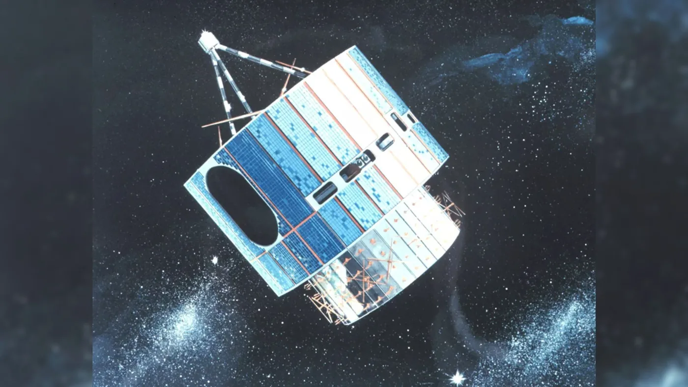
The primary sensor package aboard GOES-1 was the Visible/Infrared Spin Scan Radiometer (VISSR), built to capture Earth observations in daylight and nighttime. By gathering visible sunlight reflected by cloud decks and thermal infrared energy emitted by land and ocean surfaces, VISSR tracked cloud motions and surface temperatures over thousands of miles. The spacecraft used spin stabilization, spinning rapidly around its axis to maintain orientation in space while the camera aperture swept across Earth once per revolution, which meant the sensor observed the planet just 10% of the time. Yet that narrow observation window provided the most up-to-date satellite observations available to weather forecasters in 1975. VISSR recorded storm tops day and night [1].
NASA ground antennas received incoming radio signals from VISSR and transmitted the raw scan lines to computers, where technicians assembled individual scans into full photographic discs that revealed rotating cyclonic storms hours before surface instruments detected atmospheric pressure drops. NOAA computers produced fresh composite prints within minutes [1].


How GOES Weather Satellite Imagery Guided Forecasters
How did meteorologists convert these radiometer scans into daily public warnings? Before GOES-1 launched, weather offices relied on surface barometers, weather balloons, and commercial ship reports that left vast oceanic stretches completely unmonitored. When GOES-1 began sending pictures from above the Indian Ocean, NOAA meteorologists photographed successive frames and projected them in sequence to create moving film loops. Watching cloud decks move over ocean basins gave scientists their first direct measurements of high-altitude steering winds [1].
GOES-1 served in geostationary orbit for nearly ten years before NASA and NOAA decommissioned the craft on March 7, 1985. During that decade of service, NASA and NOAA launched five successor satellites named GOES 2, 3, 4, 5, and 6 to expand weather tracking over the Western Hemisphere. That growing constellation allowed NOAA to station one spacecraft over the Atlantic Ocean and a second over the Pacific Ocean, providing unbroken coverage of both Atlantic and Pacific coastlines across the United States. Each successor spacecraft introduced sensor refinements that improved optical resolution and infrared detection in the cold environment of space. The ten-year lifespan of GOES-1 proved that geostationary observatories could serve as permanent assets for national weather services [1].
The constant stream of satellite observations also supported planetary atmosphere research, providing Earth-based baselines in the same way Hubble tracked planetary weather and collisions in our solar system. Senior production editor Elisa Neckar reported for Astronomy Magazine that orbital observations aided climatologists tracking multi-year environmental trends while helping forecasters issue advance alerts for approaching severe storms. Long-term climate models incorporated these orbital datasets [2].
Evolution of the GOES Weather Satellite Fleet
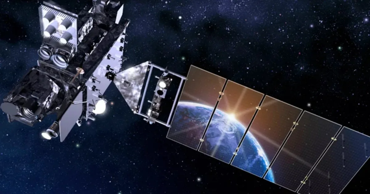
Over five decades of service, the GOES weather satellite architecture moved from early GOES platforms to three-axis stabilized spacecraft. In 2016, NASA and NOAA launched GOES-R, the first satellite in an advanced series designed to view Earth without interruption. Instead of spinning and capturing the planet only 10% of the time, GOES-R pointed its instruments steadily at the globe to transmit storm updates every thirty seconds [1].
Modern GOES satellites map lightning activity, measure atmospheric temperatures, and track space weather hazards triggered by solar flares. When celebrating fifty years of the satellite system, NOAA wrote that “For 50 years, GOES data has been the backbone of short-term forecasts and warnings of severe weather and environmental hazards in the Western Hemisphere and forecasts and warnings of space weather hazards”. The agency added that “Each successive generation of GOES has brought improvements and new capabilities to monitor our part of the world” [1]. These instruments detect coronal mass ejections before solar particles can disrupt navigation signals or power grids in the United States and worldwide.
Following the 2016 launch of GOES-R, NOAA deployed three additional satellites designated GOES-S, GOES-T, and GOES-U to maintain coverage over North America. GOES-U completed the fourth-generation series in 2024. NOAA operates the satellites to track North American wildfires and Pacific volcanic ash [1].
From GOES-19 to the GeoXO Fleet
The newest working satellite lifted off on June 25, 2024, under the designation GOES-U before entering active service as GOES-19 once reaching its orbital station. Elisa Neckar reported for Astronomy Magazine that eighteen additional GOES satellites followed the 1975 prototype across five decades. GOES-19 serves as the final satellite of the GOES program, concluding fifty years of NASA and NOAA generational upgrades [2].
With the GOES series reaching its final design, NOAA and NASA have begun developing the next era of orbital environmental observation. The upcoming GeoXO program is scheduled to replace the GOES satellites, with its first spacecraft planned to launch in 2032 from Cape Canaveral. Senior production editor Elisa Neckar explained in Astronomy Magazine that GeoXO will carry next-generation infrared sounders, lightning mappers, and atmospheric composition sensors to measure air quality, track greenhouse gas emissions, and monitor coastal waters with finer resolution than current instruments provide. Just as GOES-1 transformed forecasting in 1975, the GeoXO constellation will supply meteorologists with advanced data to protect communities from emerging environmental hazards [2].
Future atmospheric monitoring will also benefit from advances in heavy-lift space transportation, building upon flight tests such as the first Starship orbital flight aimed at increasing satellite delivery capacity. Fifty years after the first GOES weather satellite opened an eye on Earth, geostationary observations remain central to NOAA and NASA weather forecasting. The mission launched by NASA from Cape Canaveral in October 1975 showed that watching Earth from high orbit could help forecasters protect lives every day [1].
- ONLINE NEWS Weitering, H., & Malik, T. (2026, October 16). On this day in space! Oct. 16, 1975: NASA launches the 1st-ever GOES weather satellite to watch Earth from space. Space.com. [Article Link]
- ONLINE NEWS Neckar, E. (2026, October 16). Oct. 16, 1975: The first GOES satellite launches. Astronomy Magazine. [Article Link]
APA 7: PerEXP Teamworks. (2026, October 16). NASA Launched First GOES Weather Satellite to Monitor Earth. PerEXP Teamworks.


