





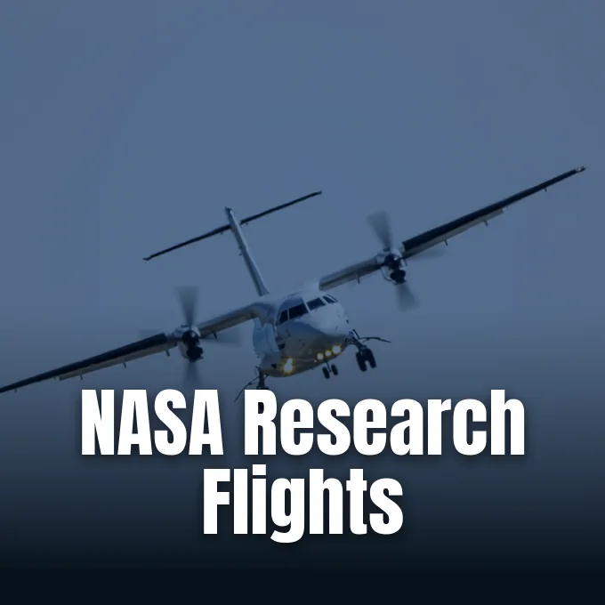
When modern observers consider federal aerospace programs, orbital missions and planetary probes typically dominate public attention, yet NASA research flights conduct extensive environmental science within Earth’s atmospheric boundary layer [2]. The agency’s newly organized FarmFlux airborne campaign focuses directly on agricultural emissions, deploying specialized aerial platforms to investigate how farming activities contribute to reactive gas concentrations across regional airsheds. Agricultural pastures release substantial atmospheric pollutants across Colorado. Yet physical pathways connecting livestock operations with broader meteorological cycles remain understudied. Jointly directed by Goddard Space Flight Center, Colorado State University, and Boston University, the mission begins initial aerial surveys over Northern Colorado farmland on October 1, 2026 [1].
- Why NASA Research Flights Target Agricultural Emissions
- When Low-Altitude Research Flights Begin in Weld County
- What Aircraft Does NASA Fly for Low-Altitude Research?
- Does NASA Make Aircraft for Atmospheric Science?
- How Sensors Map Trace Gases Across Rural Landscapes
- Where Future FarmFlux Research Flights Will Deploy Next
Why NASA Research Flights Target Agricultural Emissions
Agricultural systems represent an essential yet understudied component of Earth’s interconnected surface and atmospheric processes, releasing varied chemical species across rural airsheds. Crop fields and animal feedlots release chemical species into the air, including methane, reactive ammonia, ozone precursors, and airborne particulates (fine suspended matter). While industrial smokestacks receive continuous regulatory scrutiny and standardized monitoring, non-point agricultural discharges vary based on soil moisture, fertilizer timing, and livestock management practices [1].
“Agricultural emissions represent an important and understudied part of Earth’s land and atmosphere systems,” NASA science writer Gianine Figliozzi confirmed [1].
To address these observational deficits, the multi-institutional research team designed the FarmFlux field campaign as a dedicated airborne initiative tracking trace chemical exchanges [3]. While orbital assets evaluate planetary vegetation dynamics through agricultural crop health monitoring systems from orbit, low-altitude flights sample real-time chemical plumes directly within the boundary layer before turbulence dilutes rising gases into the background atmosphere. Atmospheric ammonia combines with acidic combustion products to generate secondary fine particulate matter, degrading rural air quality [1]. Concurrently, large livestock facilities emit significant volumes of methane, a potent greenhouse gas influencing climate forcing. Planned NASA research flights provide the mobility necessary to map these volatile effluents from agricultural origins into the broader troposphere [3].
When Low-Altitude Research Flights Begin in Weld County
The initial operational deployment of NASA research flights under the FarmFlux banner officially begins on Thursday, October 1, 2026, and concludes on Tuesday, October 20, 2026, across Northern Colorado. Flight operations center around Greeley, surveying rural transects throughout the agricultural corridor. Weld County concentrates heavy agriculture [2]. Flight crews will execute repeated low-altitude passes over agricultural properties throughout this three-week operational window, collecting trace gas samples directly within the boundary layer during varied morning and afternoon conditions. Twelve specialized instruments deploy [1].
Operating near the surface enables scientific instruments to intercept concentrated chemical plumes before atmospheric mixing dilutes volatile compounds into regional background air [1]. In Weld County, diverse farming operations situated near urban corridors create a complex chemical environment where rural ammonia emissions interact with metropolitan ozone precursors [2]. Researchers from Goddard Space Flight Center, Colorado State University, and Boston University evaluate how localized farming practices influence regional air quality across Northern Colorado [1].
Atmospheric scientists selected Northern Colorado specifically because Weld County concentrates substantial dairy herds and commercial feedlots. In Northern Colorado, concentrated feedlots in Weld County provide an ideal natural testing environment for measuring ammonia and methane plumes [2]. By surveying this basin before autumn weather shifts, NASA research flights establish baseline emission profiles informing future sampling legs across regional agricultural lands [1].

What Aircraft Does NASA Fly for Low-Altitude Research?
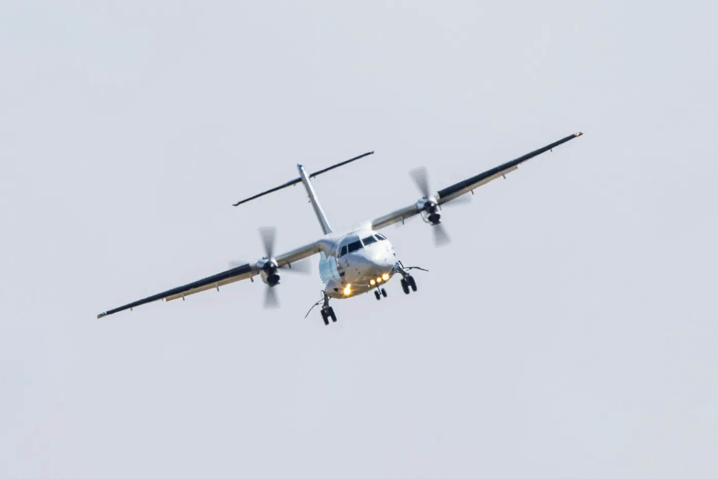
For the low-altitude research campaign over Northern Colorado, researchers deploy a Dynamic Aviation King Air twin-engine turboprop aircraft rather than high-altitude military jet airframes. No high-altitude jets are used. Turboprop engines provide the aerodynamic stability and fuel efficiency required to sustain extended low-level grid patterns over agricultural terrain. Reconnaissance jets like the ER-2 fly far above the planetary boundary layer, making them unsuitable for sampling agricultural effluents. The specialized King Air flies slow enough to capture chemical gradients without disturbing thermal stratification [2].
Low-altitude surveying demands experienced flight crews and durable airframes. To conduct grid surveys, NASA research flights rely on modified turboprops flying close to terrain near Greeley. The Dynamic Aviation King Air features a pressurized research cabin accommodating scientific racks, air sampling inlets, and data acquisition hardware [2]. External probes ingest ambient air directly into optical spectrometers without contamination, ensuring measurements reflect actual agricultural conditions [1].
While observers associate federal aerospace programs with orbital missions, NASA’s Earth Science Division maintains specialized aircraft for atmospheric investigation. Converted turboprops sample atmospheric chemistry from forest canopy heights into the lower stratosphere. These airborne platforms serve as calibration bridges between ground sensors and orbital satellites, verifying remote sensing algorithms against physical measurements [3]. Similar airborne strategies support planetary science; researchers exploring other worlds rely on insights from terrestrial atmospheric flight testing initiatives to understand how airborne vehicles maneuver through differing atmospheric densities and turbulent crosswinds across planetary boundaries [2].


Does NASA Make Aircraft for Atmospheric Science?
NASA does not manufacture custom airframes in-house for atmospheric operations, relying instead on modified commercial platforms, contracted aircraft, and converted military transports [3]. Specialized NASA engineering centers redesign existing aviation platforms, outfitting civilian utility planes with scientific instrumentation ports, reinforced payload bays, and advanced electrical systems [1]. For the Colorado deployment, NASA contracted private operator Dynamic Aviation, utilizing a proven civilian King Air platform maintained by private aviation contractors specializing in aerial sensing missions [2].
Contracting civilian aircraft allows research teams to execute regional campaigns without permanent maintenance facilities in every theater [3]. Dynamic Aviation provides crews trained in low-altitude operations, freeing researchers from Ames Research Center in Silicon Valley, Goddard Space Flight Center, Colorado State University, and Boston University to focus on calibration and data collection [1]. This operational model combines federal oversight with commercial adaptability [3]. During these campaigns, NASA research flights demonstrate how public agencies coordinate field research across regional agricultural zones [1].
In addition to contracted commercial aircraft, the agency operates a permanent fleet of government-owned research planes managed across flight facilities [3]. Aircraft such as the NASA P-3 Orion, an adapted four-engine turboprop originally designed for maritime patrol, undergo extensive structural conversions to support large scientific payloads. The P-3 Orion carries specialized pods [1]. Engineers install optical ports, belly pods, and atmospheric intake probes that turn venerable transport airframes into world-class flying laboratories [3]. Through these modifications, NASA atmospheric flights deliver comprehensive measurement capabilities across complex airsheds [1].
How Sensors Map Trace Gases Across Rural Landscapes
During low-altitude passes over Northern Colorado farms, the FarmFlux science team operates twelve specialized sensing instruments to evaluate ozone, methane, ammonia, and airborne particulates simultaneously. These instruments capture chemical interactions occurring within rising plumes. As livestock operations and fertilized fields release ammonia and methane, volatile compounds catalyze reactions that generate tropospheric ozone pollution, a hazardous secondary oxidant damaging crops and respiratory tissue [1].
Simultaneous multi-pollutant detection allows atmospheric chemists to untangle complex rural chemical processes that single-gas monitors cannot resolve. Ammonia emissions from animal waste act as an atmospheric base, neutralizing acids to form fine ammonium nitrate and ammonium sulfate aerosols (particulate salt compounds). By measuring aerosol mass with precursor gases in real time, the sensor suite maps chemical conversion rates transforming rural gases into airborne haze. Conducted methodically, NASA research flights validate localized chemical mechanism models [1].
Scientific reports reviewing Emerging Technologies from the Workshop Summary Report on Astrophysics Missions emphasize that airborne instrumentation requires rigorous field validation before integration onto broader airborne or orbital platforms. Because sensor miniaturization and calibration techniques continue to evolve rapidly, field campaigns provide experimental testing grounds for specialized optical spectrometers; as documented in an unreviewed preprint exploring airborne sensor architectures that has not yet undergone peer review, airborne testbeds ensure detection accuracy across fluctuating atmospheric boundaries [4].
Where Future FarmFlux Research Flights Will Deploy Next
The three-week deployment over Weld County represents only the initial phase of the broader FarmFlux campaign. Once operations over Northern Colorado conclude on October 20, 2026, the airborne campaign heads to Amarillo, Texas. October launches the Amarillo surveys. Scientific flights across the Texas panhandle investigate agricultural emissions across the southern High Plains, where commercial cattle feeding operations and arid conditions present a distinct chemical profile [1].
Following the Texas deployment, the FarmFlux campaign transitions to a larger observational phase during the 2027 agricultural calendar. During the subsequent 2027 growing season from March through July, flight crews will transition operations to a four-engine P-3 Orion aircraft. These later flight legs will prioritize intensive cropping systems located throughout California’s Central Valley alongside expansive agricultural belts across the Midwest. The four-engine P-3 Orion offers expanded payload capacity, enabling scientists to survey grain belts in the Midwest [1].
Data collected across these geographic sectors will reside in public research archives managed by the Earth Science Project Office, supporting atmospheric researchers worldwide [3]. Reporting on the upcoming Colorado deployment, writer Sharon Teitelbaum of Ames Research Center in Silicon Valley highlighted that data from these low-altitude research flights will remain publicly available for the scientific community [1]. Journalist Matt Sparx of Northern Colorado similarly noted the local significance of tracking Greeley agricultural emissions [2]. By tracking agricultural emissions across distinct climates, NASA research flights provide the empirical foundation necessary to understand how agricultural lands shape atmospheric chemistry across regional farming basins [1].
- PRESS RELEASE Figliozzi, G. (2026, September 23). NASA aircraft to make low-altitude research flights over Colorado. NASA Ames Research Center. [Article Link]
- ONLINE NEWS Sparx, M. (2026, September 23). NASA aircraft will fly low over Northern Colorado farmland. K99 – Northern Colorado’s New Country. [Article Link]
- WEBSITE NASA Earth Science Project Office. (2026). FarmFlux airborne science field campaign. National Aeronautics and Space Administration. [Article Link]
- PREPRINT Emerging Technologies for Astrophysics Missions: Workshop Summary Report. (2026). arXiv. [Article Link]
APA 7: TWs Editor. (2026, September 23). How NASA Research Flights Track Agricultural Emissions. PerEXP Teamworks.


