



Current spaceborne instruments measure forests and terrain by tracing one narrow line at a time from orbit, leaving wide unmapped gaps between separate orbital tracks [1]. To solve this limitation, physical research scientist John Yorks and his engineering team at NASA’s Goddard Space Flight Center developed the NASA CASALS instrument, formally called the Concurrent Artificially-intelligent Spectrometry Lidar System [2]. Built with support from NASA’s Earth Science Technology Office, the compact sensor discards motorized steering mirrors and uses optical wavelengths to sweep laser light across the ground [1].
Wavelength Steering in NASA CASALS
Standard spaceborne lidars sweep laser beams by swinging heavy motorized mirrors back and forth, but these moving parts add bulk and face mechanical wear in orbit [1]. Yorks explained that researchers at NASA Goddard bypassed that hardware vulnerability by letting optical physics steer the light instead [2]. The CASALS transmitter fires a fast laser into a stationary transmission grating that bends each pulse at a different angle [1]. It changes direction without physical motion.
Developed under NASA’s Earth Science Technology Office, the NASA CASALS transmitter relies on a fast-pulsing seed laser centered at a wavelength of 1,040 nanometers [1]. The solid-state source cycles through 256 unique wavelengths in quick succession as each burst travels toward Earth [2]. Solid-state electronic controls adjust the emission band without any moving gears, which protects the optical assembly against launch vibration and extreme space temperatures [1]. CASALS fires continuously without mechanical fatigue.
GSFC engineers removed motorized mirrors to reduce the instrument’s size, weight, and power demands, which aerospace specialists classify under the design label of SWaP requirements [1]. The hardware fits smaller satellites [2]. That compact volume lowers launch costs and reduces mechanical risks across multi-year NASA missions [1]. It leaves extra space for onboard computers.
How Transmission Gratings Replace Moving Mirrors
How does a stationary glass grating steer laser light over miles of ground? The redirection happens when pulses enter an optical component called a transmission grating [1]. Microscopic ridges etched across the glass bend outgoing light through the basic physics of diffraction [2]. Because light refracts at slightly different angles depending on its exact wavelength, each of the 256 color shifts emerges at a separate cross-track position across the flight path [1].
Diffraction physics allows the sensor to paint a broad 3D swath along the ground instead of tracing narrow profile lines [1]. Legacy orbital lidars leave wide unmeasured gaps between their ground tracks, meaning millions of forest acres never receive direct soundings [2]. The NASA CASALS transmitter sweeps its 256 separate channels out across the landscape, converting isolated flight lines into a solid ribbon of elevation data [1]. Unmapped lanes between tracks disappear.
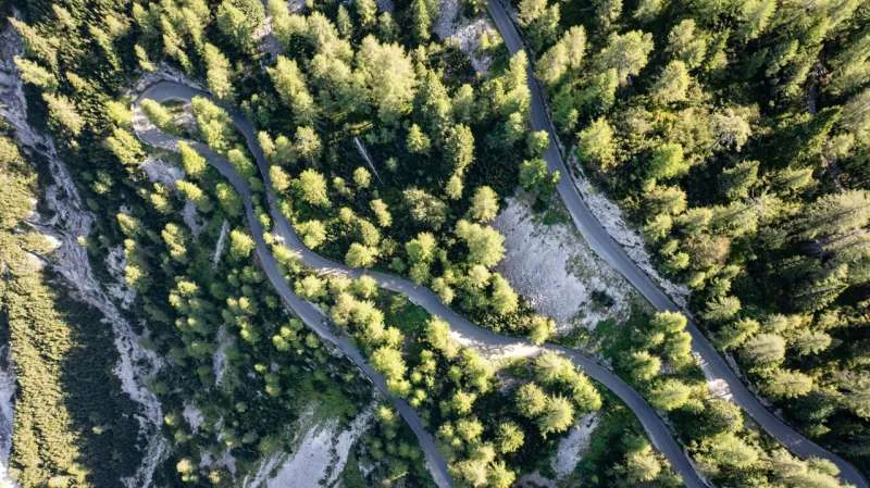
Conventional passive optical satellites often struggle with canopy distortions when observing Earth’s greenery and shadows, but active laser sounding penetrates straight through leafy foliage to find the solid ground [2]. Pulses bounce off upper leaves, mid-level branches, and the underlying soil, which records the vertical structure of the forest column [1]. Capturing these returns across a full swath prevents deep ravines or localized tree stands from slipping past unnoticed between orbital passes [2]. CASALS maps the entire forest volume.
High Quantum Efficiency Detector Array
Orbital altimeters require an exceptionally sensitive receiver to detect faint optical reflections from orbit. The NASA CASALS detector array operates at an 80% quantum efficiency (QE), a specification that describes how effectively the sensor converts incoming light photons into electrical readings [1]. Legacy orbital detectors regularly lose a large share of incoming photons, but this GSFC array operates at 80% QE and wastes almost none of the light returning from Earth’s surface [2].
High quantum efficiency enables CASALS to collect reliable elevation data from dark volcanic rocks, damp wetlands, and dense rainforests that absorb incoming laser light [1]. When laser beams enter a heavy tree canopy, only a tiny fraction of the original energy bounces back through the leaves [2]. The high-efficiency receiver catches those weak returns, allowing NASA scientists to calculate the exact height of the ground beneath thick vegetation without losing signal clarity [1]. Clean readings emerge from dark terrain.
To process these signals, the system blends machine learning with compact hardware to adaptively sweep large areas of Earth’s surface. Andrew Dollar reported for NASA Science that sponsoring groups include NASA’s Decadal Survey Incubation program, the Instrument Incubation Program, and Goddard Space Flight Center. Research teams at the University of California, Santa Barbara, and Virginia Polytechnic Institute and State University have supported development with documentation cataloged on NASA TechPort [2]. GSFC researchers worked closely with these university partners.


Flight Results From NASA CASALS Airborne Tests
GSFC engineers moved the technology out of the laboratory in November 2024 to verify its performance during real-world flight operations [1]. They installed an airborne prototype aboard a NASA B200 King Air aircraft and flew survey lines over varied terrain [2]. The airborne unit exceeded engineering expectations by producing science-quality datasets on its maiden campaign [1]. It proved that wavelength steering works inside a moving plane.
Yorks praised the engineering crew for the smooth maiden deployment. “I’m very impressed with Guang Yang, Jeffrey Chen and all our engineers, and how well CASALS performed. This worked really well from the first time we flew it, which is pretty impressive,” said Yorks. At an altitude of roughly five kilometers, or 3.1 miles, the airborne instrument achieved a horizontal resolution of 22 centimeters [1]. That spatial precision allowed the sensor to separate individual tree branches and map subtle variations in ground elevation [2].
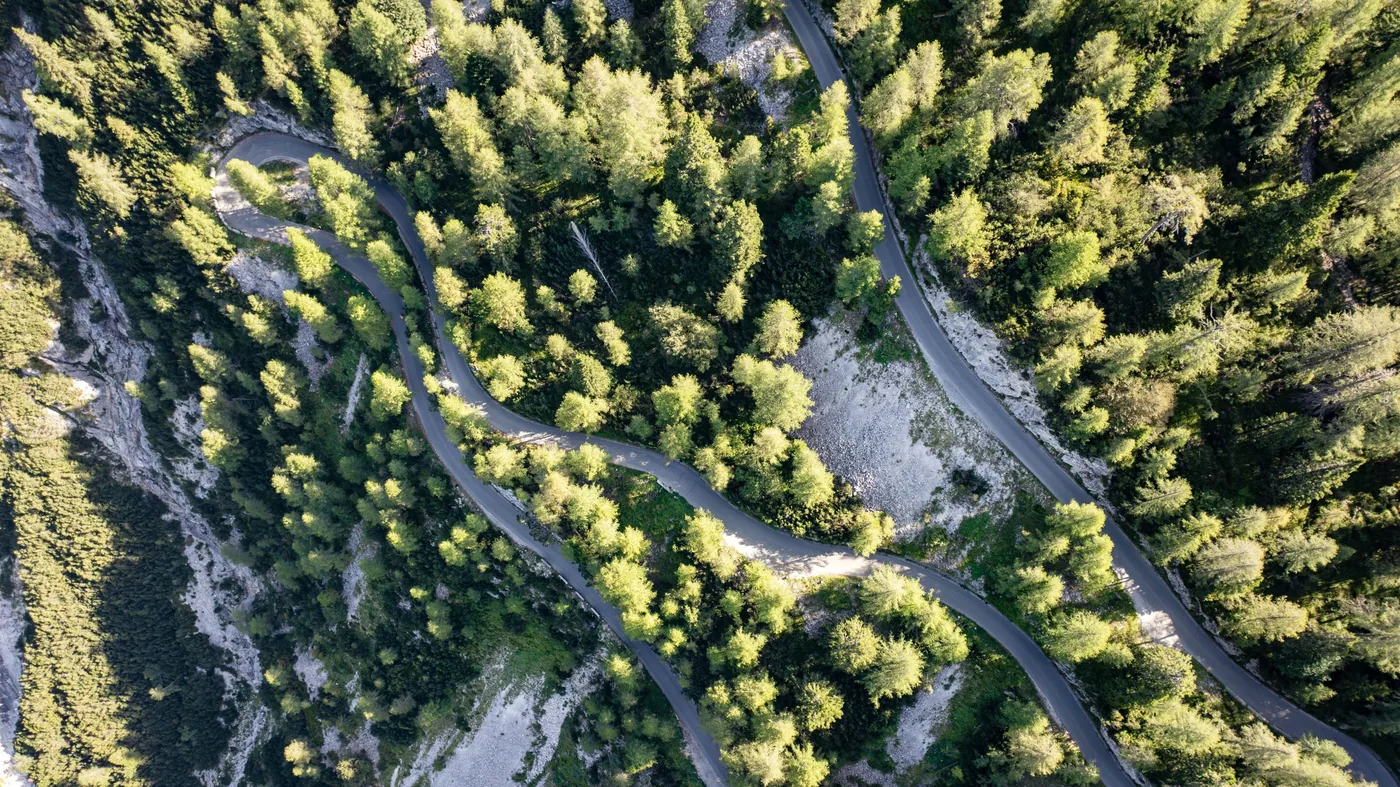
During airborne flight tests over coastal wetlands, the lidar painted detailed 3D point clouds that traced tree canopies from the crown down to the waterlogged earth [2]. “We’re able to see really fine details of vegetation structure and changes in the topography of the surface,” Yorks said. The test confirmed that rapid wavelength switching creates coherent topological models without blurring from aircraft roll, pitch, or engine vibration [1]. The prototype separated upper foliage from muddy ground, proving that solid-state beam steering can deliver the high spatial fidelity needed for planetary mapping missions [2]. The trial confirmed that the underlying optical physics scales effectively from the laboratory to real skies.
Upcoming ASCENT Campaign and Orbital Upgrades
Following the successful November 2024 campaign, NASA researchers began preparing the instrument for more demanding airborne test flights. Yorks and the GSFC team plan to fly the sounder again as part of the ASCENT campaign, officially known as the Airborne Surface, Cryosphere, Ecosystem, and Nearshore Topography mission, scheduled for the summer of 2027 [1]. Deployments during the ASCENT flights will test the sensor along coastal shorelines, sea ice margins, and dense forests under contrasting weather conditions [2]. The mission evaluates cold-weather performance.
Engineers at Goddard are preparing two hardware upgrades before building a space-ready prototype [1]. GSFC engineers are widening the swath width of the instrument and integrating onboard data processing software [2]. Onboard software will process lidar waveforms directly on the satellite to reduce the volume of data transmitted to ground antennas [1]. “The team’s really done a great job of sticking together and keeping on task and on schedule. We are being funded to optimize and improve the performance, and we’re also then looking at ways to take the technologies used in the airborne instrument and mature them and prepare them for a spaceborne version in the future,” Yorks said [2].

Compact orbital altimeters also connect to broader geodetic research, complementing studies on how Earth’s center of mass swivels under shifting waters and melting ice sheets [2]. Elevation shifts recorded on planetary surfaces provide boundary data that help NASA geophysicists track mass movements in the crust and oceans [1]. Continued testing confirms that when CASALS reaches orbit, automated wavelength steering will maintain calibration through years of unattended operation [2].
Three-Dimensional Maps of Forest Canopies
Current spaceborne lidars trace isolated profile lines that leave millions of acres unmeasured between consecutive satellite orbits, forcing ecologists to rely on statistical models to estimate what lies between those narrow tracks [1]. Mathematical interpolation introduces uncertainty into carbon accounting, biomass estimates, and wildlife habitat monitoring [2]. Continuous swaths replace statistical estimates.
High-resolution 3D topography helps researchers track how woodlands change following logging, storm blowdowns, or wildfire damage [1]. Detailed observations of our home planet allow forestry agencies to measure timber reserves, model watershed runoff, and observe vegetation regrowth over time [2]. When every stand of trees receives direct laser coverage, conservation groups calculate aboveground biomass with high confidence [1]. Field teams get dependable baseline numbers.
If NASA CASALS completes its transition to orbit, the payload could become the first spaceborne lidar to map Earth’s forests and terrain as unbroken 3D swaths rather than isolated profile lines [1]. That capability would deliver a vastly more complete picture of terrestrial change over time [2]. NASA engineers replaced motorized mirrors with solid-state wavelength steering to overcome a mechanical hurdle that has constrained spaceborne remote sensing for decades [1]. The technology promises to expand topographical mapping on future planetary missions.
- ONLINE NEWS Phys.org. (2026, October 21). NASA’s CASALS instrument bridges gaps in 3D maps of Earth’s surface. [Article Link]
- WEBSITE Dollar, A., & NASA Science Editorial Team. (2026, October 21). NASA’s CASALS Instrument Bridges Gaps in 3D Maps of Earth’s Surface. NASA Science. [Article Link]
APA 7: PerEXP Teamworks. (2026, October 22). NASA CASALS Instrument Maps 3D Landscapes Without Moving Mirrors. PerEXP Teamworks. https://perexpteamworks.com/en/nasa-casals-3d-mapping-lidar/


