





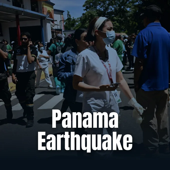
A powerful Panama earthquake jolted south-central Panama on Friday afternoon, shaking communities in Herrera Province and sending tremors through buildings more than a hundred miles from the epicenter. The U.S. Geological Survey initially placed the event at magnitude 8.0 before downgrading the shock to a 7.7 reading [2]. While coastal alerts first warned of dangerous waves, seismologists noted that the rupture occurred on land at a shallow depth of 12 kilometers [1].
How the Panama Earthquake Shook Herrera Province
The main shock struck at 12:56 P.M. local time, registered as 5:56 p.m. GMT on global seismic monitors [1]. Seismologists located the epicenter roughly nine miles (14 kilometers) southwest of the small village of Pitaloza Arriba in Herrera Province [2]. Another early report from the U.S. Geological Survey placed the rupture 10 kilometers (6.2 miles) from the rural town [1].
Ground shaking spread widely through the country, where approximately 4.6 million people experienced moderate to strong ground motion according to analytical modeling released by the U.S. Geological Survey [2]. Instruments measured the subterranean focal origin roughly 12 kilometers (about 7.5 miles) below ground level, a factor that typically concentrates shaking near the surface rather than dispersing energy deep within Earth [1]. Because the rural zone surrounding Pitaloza Arriba has a relatively low population density, emergency officials did not report casualties during the first hours following the event [2]. Local teams nevertheless monitored rural roads, unpaved routes, and small bridges for cracks caused by the heavy ground displacement [1].
Several aftershocks followed within hours of the main shock, including a magnitude 6 tremor that rattled families gathered outdoors [1]. Research into past aftershock connections in earthquake research shows how persistent energy releases can continue along fault systems over long periods. Local emergency broadcasts urged residents to remain cautious near fragile buildings [2].
Why Did the Tsunami Alert Clear so Fast?
The tsunami alert was canceled because the earthquake ruptured on land rather than beneath the ocean floor, preventing the vertical seabed displacement required to produce large water waves [2]. When the event first registered at magnitude 8.0, the U.S. Tsunami Warning System issued precautionary alerts for waves up to three meters (10 feet) along the Panama coastline [1]. Early computer models suggested possible tsunami threats for Panama, Costa Rica, El Salvador, Peru, Mexico, Guatemala, Nicaragua, Colombia and Ecuador before coastal gauges confirmed safe conditions. Telemetry from buoys quickly verified that sea levels remained undisturbed by the inland rupture [2].
USGS seismologist Susan Hough explained that land-based ruptures do not disturb the water column in the manner of undersea subduction earthquakes, as reported by Scientific American. “Because this was on land and shallow, you’re not on the seafloor, so it didn’t move the seafloor underneath the water column, and that’s what you need to generate a tsunami,” she says. Ocean warning centers officially withdrew all coastal advisories by Friday afternoon [2].
Coastal residents who had moved to higher ground were permitted to return once ocean monitoring confirmed normal tide levels. The U.S. embassy in Panama advised citizens to stay cautious near waterfront areas while monitoring local radio broadcasts for official updates [2]. Maritime operations along the coastline resumed without delay [1].
What Fault Movement Triggered the Panama Earthquake?
A shallow strike-slip fault mechanism caused the Panama earthquake, meaning two crustal blocks slid past each other laterally rather than pushing one rock mass over the other. Seismologists noted that this horizontal displacement resembles the familiar motion seen along the famous San Andreas fault [2]. The rupture occurred only 12 kilometers below the surface [1].
Susan Hough described the geological setting as a fractured network that accommodates steady crustal movement between neighboring oceanic and continental plates in Central America. “It was a shallow lateral fault, what we call strike-slip, so similar to the San Andreas,” Hough says. She pointed out that complex fault junctions make exact rupture paths difficult to map before an event occurs. “There’s a complicated zone of faulting that’s at that juncture, and so this earthquake was on one of those faults,” she says [2]. Surface instruments recorded significant horizontal displacement near Pitaloza Arriba [1].
Hough explained that Friday’s shock was particularly large relative to local seismic history. “It was quite large compared to other earthquakes that have been seen in that area,” she explained [2]. Seismologists from international research bodies will continue analyzing ground sensor readings to determine the exact length and orientation of the subsurface fault rupture [1].



How Plate Boundaries Meet Beneath Central America
Panama sits directly above a complex tectonic intersection where four lithospheric plates interact in close proximity. The Cocos plate and Nazca plate border the country to the south, while the Caribbean plate lies to the north and the South American plate borders the region to the east. Multiple fault zones absorb ongoing tectonic stress [2].
In many subduction zones worldwide, a denser oceanic plate is forced beneath a lighter continental plate into Earth’s mantle, accumulating pressure that can eventually unleash powerful megathrust earthquakes. Hough explained that the subduction boundaries near Panama do not meet in that converging arrangement, which helps explain why the country typically experiences fewer powerful earthquakes than neighboring nations. Strike-slip faults absorb much of the crustal deformation instead of driving massive plate descent. This tectonic geometry means crustal strain is released through horizontal slippage along shallow fault lines rather than catastrophic vertical undersea fractures [2].
Past records indicate that strong earthquakes are rare in Panama, and when significant tremors have occurred, they have typically struck western Chiriqui province near the Costa Rican border. The occurrence of a magnitude 7.7 event in central Herrera Province offers geologists a rare opportunity to study ground deformation within the interior of the Central American nation [1].
Emergency Relief Mobilizes for Local Communities
Following the earthquake, Panamanian President José Raúl Mulino announced on social media that he had ordered government agencies to mobilize personnel, resources, and emergency aid to the affected area. National disaster management teams began checking for damage to rural houses, power lines, and local transport routes in Herrera Province [2]. First inspections focused on rural health posts [1].
USGS analytical modeling estimated that economic losses could reach hundreds of millions of dollars, with projected casualties ranging from dozens to hundreds of fatalities depending on building stability. As developing regions face mounting recovery bills following earthquake events, discussions surrounding loss and damage disaster relief highlight the ongoing global need for resilient infrastructure support. Emergency teams said that engineering surveys will clarify how many families require temporary housing assistance. Field inspectors prioritized checking rural water pipes, telephone links, and electrical lines serving interior towns near Pitaloza Arriba [2].

The U.S. embassy in Panama advised American citizens in the area to avoid damaged buildings and stay tuned to local emergency radio bulletins for official advisories [2]. Emergency teams set up supply posts in municipal centers to provide clean drinking water, basic medical supplies, and temporary communication access for rural residents [1].
Why Shallow Quakes Cause Strong Surface Shaking
Shallow earthquakes produce much stronger ground shaking at the surface because seismic energy travels through less rock before reaching buildings and communities [2]. At a focal depth of just 12 kilometers (7.5 miles), the seismic waves from Friday’s event reached population centers with little dampening [1]. Seismologist Susan Hough pointed out that while deep tremors lose energy traveling through Earth’s crust, shallow events direct their maximum energy to the surface [2].
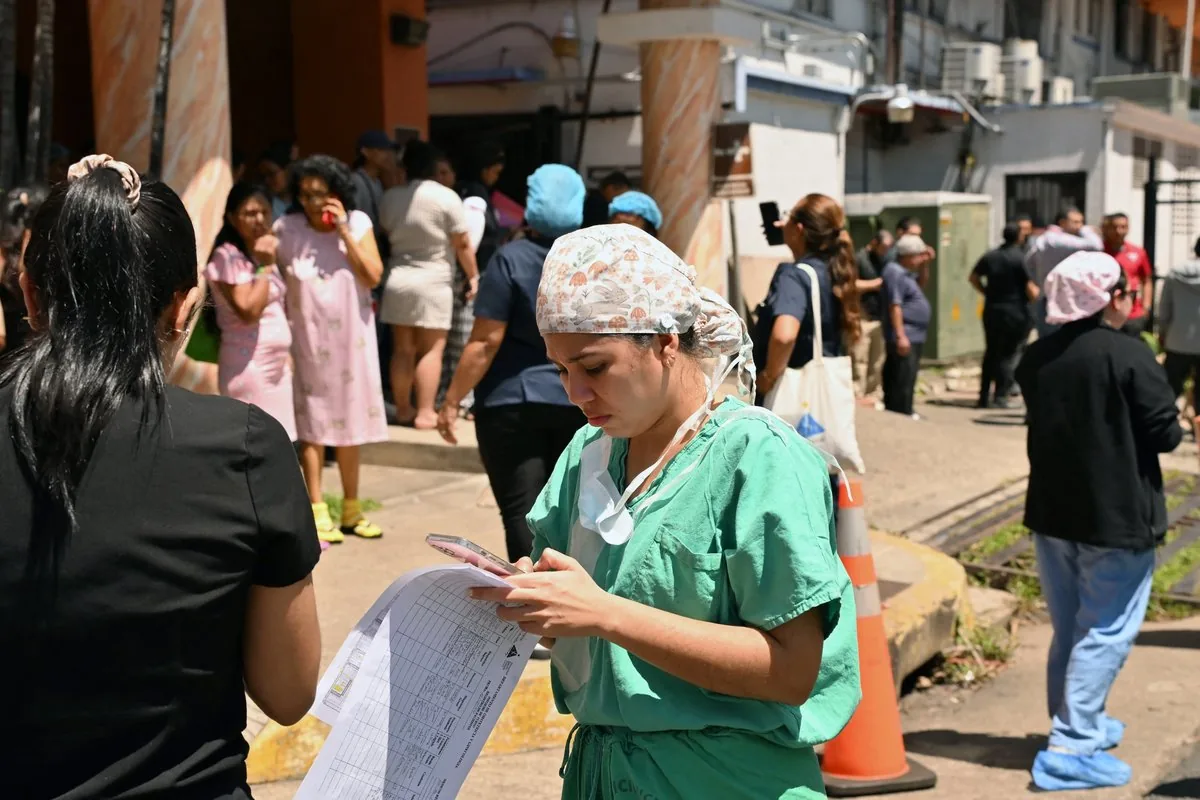
Even in Panama City, located about 200 kilometers (124 miles) from the epicenter, the vibrations were strong enough to trigger panic and prompt mass evacuations from high-rise office towers and residential buildings. Journalists from AFP witnessed crowds pouring into city avenues as alarm bells sounded in business districts. Outside Santo Tomas hospital in Panama City, hospital staff guided patients from the maternity ward into open courtyards where residents checked mobile phones for news about family members living in interior towns. Such widespread evacuations show how shallow ruptures can shake modern urban high-rises far beyond the epicentral zone [1].
As geotechnical teams continue inspecting rural bridges and public buildings in Herrera Province, seismic data from the event will help geologists refine fault maps in the country. The absence of an ocean tsunami provided major relief to coastal communities, yet repairing damaged homes and water networks will remain a pressing priority for relief agencies in the weeks ahead [2].
- ONLINE NEWS Pol, A. (2026, October 10). Tsunami alert after major earthquake rocks Panama. Phys.org. [Article Link]
- ONLINE NEWS Kovac, A. (2026, October 9). Major earthquake strikes Panama—damage and injuries are expected. Scientific American. [Article Link]
APA 7: TWs Editor. (2026, October 11). Why the Panama Earthquake Spared Coastlines from Large Waves. PerEXP Teamworks. https://perexpteamworks.com/en/panama-earthquake-tsunami-alert-damage/


